|
|
|
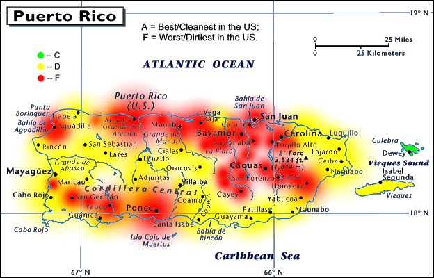
Abstract: US Air Quality Gradebook ("AirGrades") maps present a visual picture of air quality for more than 3,000 US counties. This map shows Puerto Rico air quality by city and island. |
Grades are based on air pollution data from the Environmental Protection Agency (EPA) for 10 measures of ambient pollutant concentrations and for emission tonnages of 11 air pollutants. |